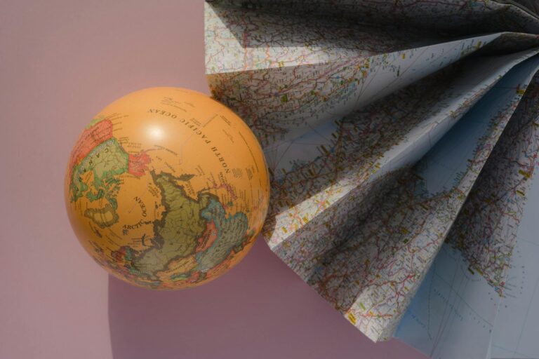
Have you ever wondered how maps have the power to simplify our world’s most complex landscapes and data? What is cartography exactly?
Cartography, the art and science of map-making, does exactly that. It transforms vast amounts of geographic information into visual guides that help us navigate, plan, and understand the world around us.
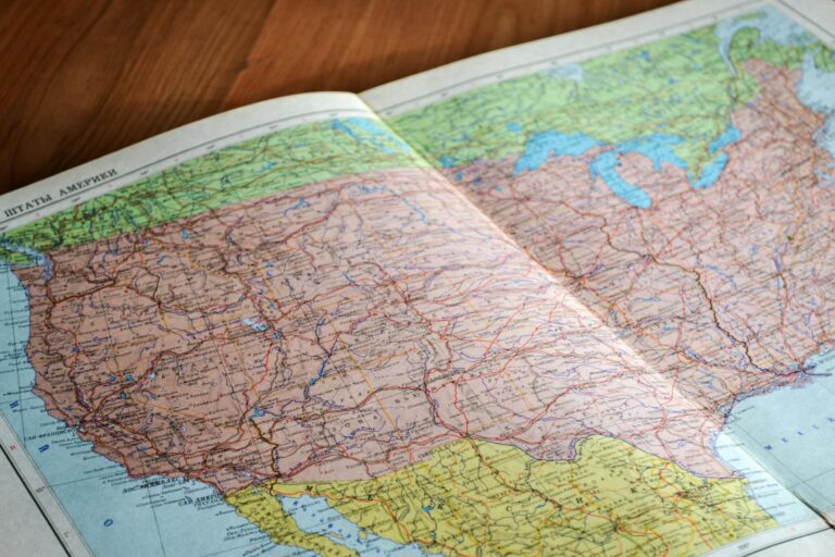
Cartography is the art and science of creating maps to represent geographic spaces. It involves techniques for visualizing spatial data and making complex information understandable through the use of symbols, scales, and projections. Cartography combines design, technology, and geographic knowledge to produce maps for navigation, analysis, and communication.
Maps have been around for thousands of years. Long before GPS, satellites, or web maps, people used maps to understand where they were, where they were going, and how the world around them was arranged.
In this article, you’ll dive into what cartography is, why it’s important, and how it’s constantly evolving in our increasingly data-driven world.
Contents
- 1 1. What is Cartography?
- 2 2. Why is Cartography Important?
- 3 3. Brief History of Cartography
- 4 4. What is a Cartographer?
- 5 5. Cartography and Map-Making Today
- 6 6. Key Concept of Cartography (Overview)
- 7 7. Cartographic Tools and Technologies
- 8 8. Cartography and Geographic Information Systems (GIS)
- 9 9. Cartography and Remote Sensing
- 10 10. Cartography and Big Data
- 11 Conclusion
1. What is Cartography?
Cartography is the art and science of making maps that represent geographic space.
At a basic level, cartography is about turning information about the Earth into a visual form that people can understand. This includes deciding what to show, what to leave out, and how to present geographic information clearly.
Cartography is not only about drawing maps. It covers the full mapping process, from collecting and checking data to choosing how that data is shown and shared. This can include printed maps, digital maps, interactive maps, and even 3D map products.
The International Cartographic Association defines cartography as a discipline that deals with the conception, production, representation, dissemination, and study of maps. In simple terms, cartography looks at how maps are made, how they work, and how people use them.
While maps were once static objects printed on paper, modern cartography now includes dynamic and interactive maps shown on screens. Even with these changes, the main goal remains the same: helping people understand geographic information.
2. Why is Cartography Important?
Cartography is important because maps are one of the most effective ways to communicate geographic information.
Maps help people:
- navigate cities and landscapes
- understand environmental change
- plan cities and infrastructure
- respond to disasters
- explore patterns and trends in data
Without cartography, much geographic data would remain difficult to understand. Tables and raw numbers rarely show spatial patterns clearly. A well-made map can show relationships and trends in seconds.
In many fields, including urban planning, environmental studies, transportation, and public policy, maps support decisions that affect real people. Cartography helps ensure that these maps communicate information clearly and responsibly.
3. Brief History of Cartography
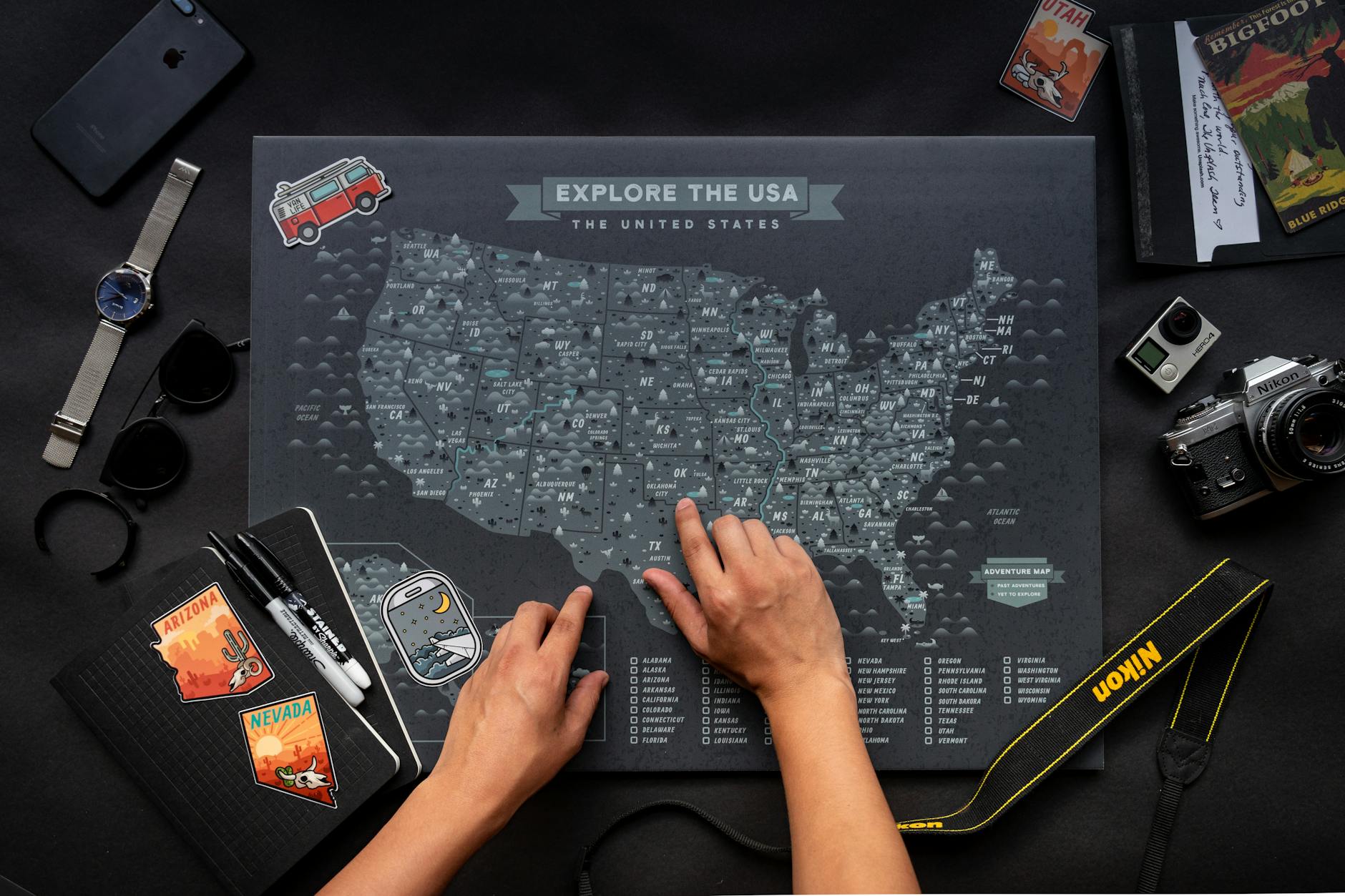
From the creation of the first maps to now—thousands of years later—the process of map-making and cartography has evolved with the times and technology, from conventional to digital cartography.
Cartography has a long and rich history, evolving alongside human civilization.
- Ancient Times: Early maps date back to Babylonian clay tablets and Egyptian carvings, which were rudimentary but showed a strong desire to understand geography.
- Middle Ages: With advancements in astronomy and mathematics, cartographers like Ptolemy laid down early principles of geography that still influence maps today.
- Renaissance: Explorers like Columbus used maps that were becoming increasingly accurate, thanks to improved tools such as the compass and the astrolabe.
- Modern Period: The advent of satellite imagery and Geographic Information Systems (GIS) has revolutionized the field, enabling precise and complex maps.
Cartographic research continues to deepen our understanding of the evolution and importance of maps throughout history.
4. What is a Cartographer?
A cartographer is a person who creates maps.
Cartographers work with geographic data and turn it into visual products that people can read and use. Today, this often means working with digital tools, databases, and GIS software.
Modern cartographers may focus on areas such as:
- urban planning
- environmental mapping
- navigation
- web mapping
- data visualization
While software plays a big role, cartographers still need strong judgment. Deciding what information to show, how to simplify it, and how to present it clearly remains a human task.
5. Cartography and Map-Making Today
Cartography has always been tied to the map-making process.
In the past, maps were made exclusively by cartographers, professionals who studied and specialized in cartography. Today, maps can be easily created using various online tools by anyone with internet access.
Professionals from other fields, such as forestry, agriculture, land management, social sciences, and cultural geography, can now produce maps for their own purposes.
Moreover, with the rise of big data and data science, the process of map-making has become more widespread and common.
In the past, maps were mainly created by trained cartographers. Today, many people can create maps using online tools and mapping software.
This wider access does not reduce the value of cartography. Instead, it makes cartographic thinking more important.
Even with easy-to-use tools, map makers still face key challenges:
- They must find ways to effectively represent objects to meet the map’s purpose and adapt to the medium and audience.
- They need to depict geographic relationships on a reduced scale while maintaining proportional relationships and ensuring the information remains accurate.
- They must decide which information to include and develop a generalization system that makes the map useful and accessible to readers.
- Map makers must display the information clearly and understandably, including developing cartographic symbols and preparing the map layout to effectively communicate the map’s information.
Cartography provides the principles that help guide these decisions, no matter who is making the map.
6. Key Concept of Cartography (Overview)
Designing a map involves balancing several elements to create a clear, functional, and aesthetically pleasing product.
a. Map Scale
Map scale represents the relationship between distances on a map and the actual distances on the ground. A small-scale map covers large areas with less detail, while a large-scale map provides more detail for smaller areas.
b. Map Projection
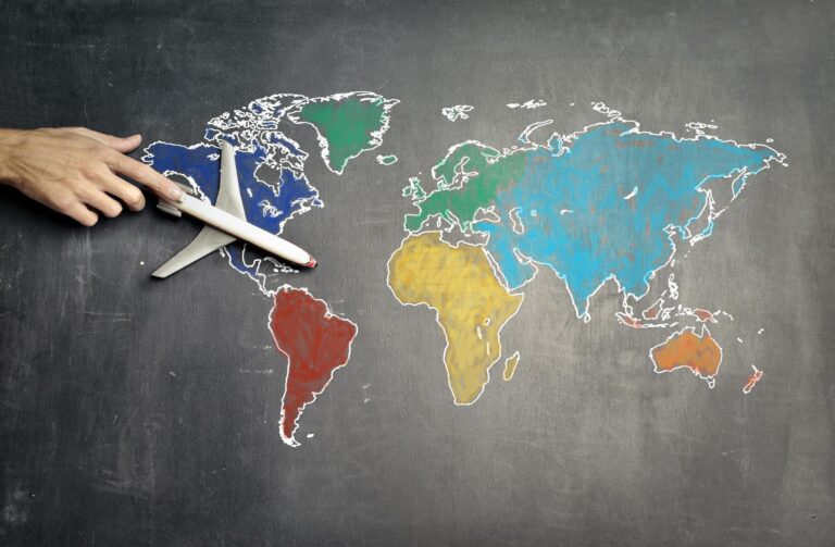
Map projection refers to how the three-dimensional surface of the Earth is represented on a two-dimensional plane. Different projections, such as Mercator or Robinson, are used depending on the map’s purpose, but each comes with distortions in distance, shape, or area.
c. Map Symbolization
Symbolization involves using symbols and colors to represent different types of data on a map. Common examples include lines for roads, colors for elevation, and shapes for landmarks. Cartographic symbols are also used extensively to represent physical features on the map, ensuring consistency in how information is communicated.
d. Map Generalization
Generalization simplifies the map by reducing unnecessary detail. This helps the map maintain clarity, especially when representing large areas. Generalization might involve omitting minor features or combining similar features.
e. Map Typography
Typography on maps involves the use of fonts and text to label features like cities, rivers, and political boundaries. Legibility and placement of text are critical to avoid clutter and confusion.
f. Map Design
Map design combines all elements to produce a visually appealing map. Good design guides the user’s eye through the map, ensuring important features stand out while maintaining clarity and balance.
Additionally, cartographic storytelling and map aesthetics play a critical role in making maps both functional and engaging for diverse audiences.
Visual hierarchy in maps ensures that the most important elements are easily distinguishable, which enhances user experience in mapping.
g. Map Layout
Layout refers to the arrangement of all map elements, including the map itself, legend, scale bar, title, and any insets. A good layout ensures that the map is easy to read and understand at a glance. Map legends are integral for interpreting the meaning of various symbols and colors used in a map.
7. Cartographic Tools and Technologies
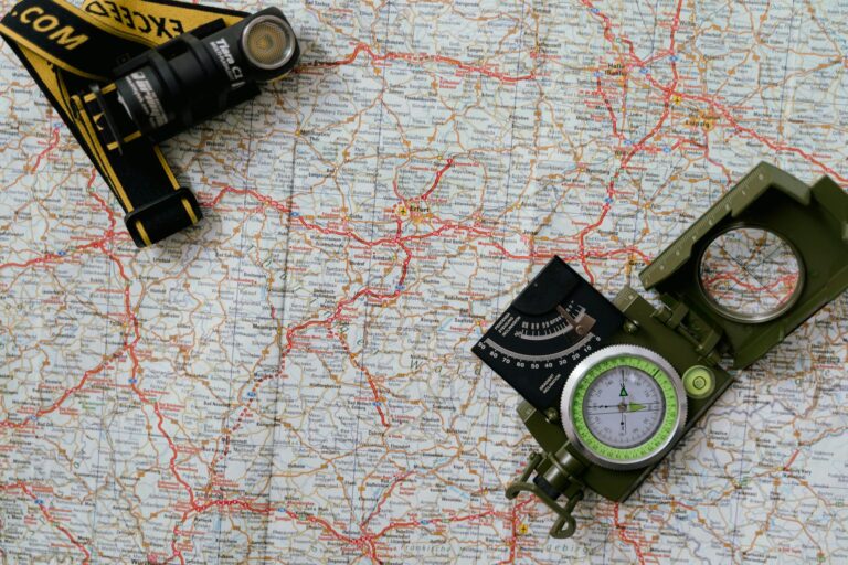
Cartography has been transformed by modern technology. Traditional map-making tools like rulers and compasses have been largely replaced by digital tools and software.
- GIS (Geographic Information Systems): GIS software is essential for modern cartographers, allowing them to store, analyze, and visualize geospatial data.
- Remote Sensing: Satellites and drones provide up-to-date imagery that cartographers use to create accurate maps.
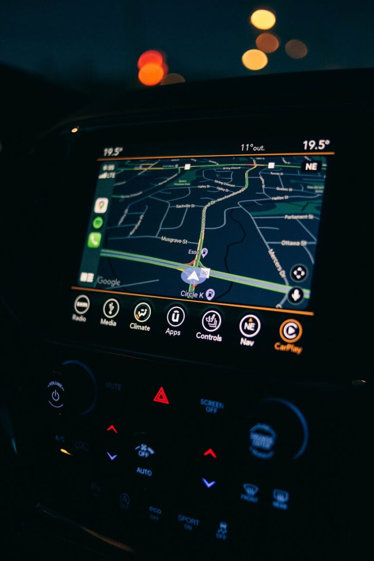
- Web Mapping and Interactive Maps: Tools like Google Maps and ArcGIS Online enable the public to create customizable, data-driven mapping experiences. Open-source mapping tools like QGIS have made these resources even more accessible.
8. Cartography and Geographic Information Systems (GIS)
Cartography is closely related to GIS (Geographic Information Systems).
Map-making has changed dramatically in recent years due to rapid advancements in computer technology. GIS enables the digital representation of map objects, which can be linked to databases describing those objects. Cartography and GIS influence each other, especially in mapping activities.
GIS speeds up and simplifies the map-making process, expanding possibilities for what is mapped, the form maps take, who creates and uses them, and how they are used.
Cartography plays a key role in ensuring that the maps produced by GIS maintain quality, ensuring they remain accurate and effective in conveying the intended information.
9. Cartography and Remote Sensing
Another field closely related to cartography is remote sensing.
Remote sensing involves the science, art, and technology of obtaining information without direct contact, using images like photos or videos from satellites and aircraft.
Cartography and remote sensing fall under the umbrella of technical geography, a branch focused on the use of technical skills in geographic studies.
Remote sensing is a scientific discipline.
Remote sensing data can be directly used to create maps, such as image maps, by adding information according to cartographic principles to help readers interpret the map.
10. Cartography and Big Data
In the era of big data and location-based applications, maps and geospatial data are becoming increasingly important.
Maps are one of the best ways to visualize geospatial data. They provide insights that can be applied to cartography in public policy and environmental cartography. Moreover, cartography trends point towards more community mapping projects, where individuals contribute to collective geospatial knowledge.
Handling and visualizing geospatial big data presents its own challenges.
However, spatial data visualization in map form must still fulfill the purpose of map-making and meet the reader’s needs. This is where cartographic communication and map literacy come into play.
Conclusion
In this article, we explored what cartography is, including its definition, history, and its connections with other fields such as GIS, remote sensing, and big data.
Cartography is more than just making maps—it’s a dynamic field that combines science, art, and technology to help us understand our world. From historical cartography to mapping the digital world, cartographic research continues to push boundaries and influence how we view and interact with geographic data.
Whether you’re a student, a professional, or just curious, understanding cartography offers a new perspective on how we interact with the world around us.
Cartography education and workshops provide opportunities to learn and improve map publishing skills for anyone interested in this field.
We hope this article has been helpful. If you have any questions or would like to discuss further, feel free to leave a comment below!