Terrain Analysis in GIS: Slope, Aspect, Curvature, Hillshade, and TWI Explained
Learn terrain analysis in GIS: slope, aspect, curvature, hillshade, and TWI — what they mean, how they’re calculated, and when to use each one.
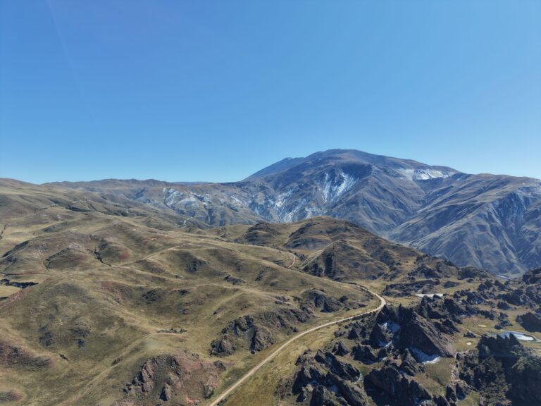
Learn terrain analysis in GIS: slope, aspect, curvature, hillshade, and TWI — what they mean, how they’re calculated, and when to use each one.
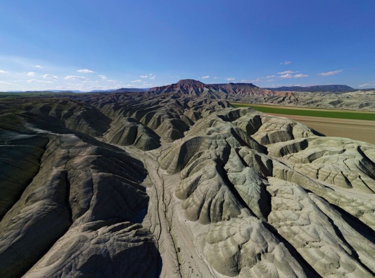
Learn what a digital elevation model is in GIS, the difference between DEM, DSM, DTM, and nDSM, data sources, resolution, and how to choose the right one.
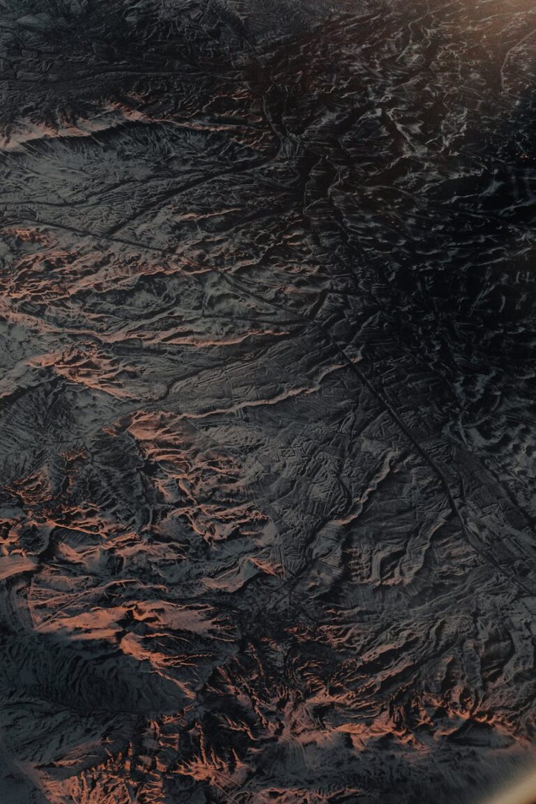
Most GIS analysts can answer “where” with confidence. Point a query at a dataset and the answer comes back clean. But introduce elevation and suddenly the workflow stalls. The question shifts from “where is it?” to “what does the ground actually look like here?” And that is a fundamentally different kind of analysis. That gap…
Euclidean distance and network distance in GIS answer different questions. Learn when each applies, how they compare, and how to run service area analysis.

Learn what Thiessen polygons are in GIS, how they are constructed, their applications in hydrology and service planning, and their core limitations.
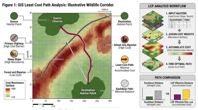
Learn what cost distance analysis in GIS is, how resistance surfaces and accumulated cost work, and how least cost path analysis finds wildlife corridors. Two wildlife habitat patches sit 5 kilometers apart on a map. By straight-line distance, they are close. But between them lies a mosaic of agricultural fields, a four-lane highway, and a…
Learn what buffer analysis in GIS is, the four main buffer types, real-world applications, and the critical limitation that misleads analysts.
roximity analysis in GIS measures distance relationships between features. Learn buffer analysis, network distance, cost distance, and when to use each.
What is overlay analysis in GIS? Learn how vector overlay, raster overlay, and weighted overlay work — with types, examples, applications, and a step-by-step workflow.
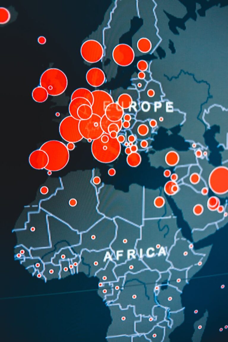
Geospatial technology is the collection of tools, systems, and platforms used to capture, store, process, analyze, and communicate information about Earth’s surface.