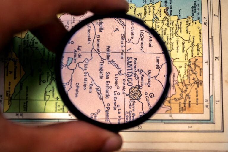
Ever stared at a map and felt lost, not because of where you are, but because of those tiny, confusing symbols? If so, you’re not alone!
Whether you’re new to map-making or just getting started in cartography, understanding a map legend is crucial.
Think of a map legend as your map’s secret decoder ring. Without it, even the most beautifully drawn maps would be a jumble of lines and dots.
In this post, we’ll break down what a map legend is, why it’s so important, and how it turns those mysterious symbols into something useful.
Contents
What is a Map Legend?
A map legend is a diagram, list, or table that decodes the symbols, images, or colors used on a map.
It’s like a dictionary for your map, translating those little icons and shapes into meaningful information. Whether you’re looking at a road map or a geological survey, the legend is what makes it all make sense.
Think of a map legend as the translator between the map and the user. It takes the abstract symbols on a map and gives them meaning.
Without a legend, you’d be left guessing what each symbol represents. The purpose of map legend is to link symbols to their meanings, making the map usable.
Types of Legends: Legends come in various forms:
- Attribute Legends: Explain the meaning of different attributes like colors or line styles.
- Symbol Legends: Decode symbols representing different features, like roads or rivers.
- Graphic Legends: Combine symbols and attributes in a visual format.

How Does a Map Legend Work?
“According to cartography experts Menno-Jan Kraak and Ferjan Ormeling, maps serve the dual functions of visualization and communication.” The map legend is the essential tool that ensures clear and effective communication between the map maker and the reader.
A map legend is where the map maker and map reader “communicate.”
Through the legend, the map maker’s intentions align with the reader’s understanding. For this reason, the legend must be clear and well-structured to facilitate effective communication.
When designing a map, the map maker carefully crafts the legend to match the symbols, labels, and sometimes additional information within the map itself. This ensures each element on the map is clearly explained, leaving no room for confusion.
Once the map is complete, the reader turns to the legend as their guide. Using the legend, they can accurately interpret the map’s symbols, gaining the insights and information the map maker intended to convey.
This process transforms the map from a simple graphic into a powerful tool for communication and understanding.
Every symbol in a map legend has a specific meaning. For instance, a dot might indicate a city. A line could represent a road, and a color might show elevation.
Examples of Common Symbols:
- Dots: Population centers or cities.
- Lines: Roads, rivers, or boundaries.
- Colors: Different land uses, elevation, or climate zones.
The legend doesn’t just show symbols. It also provides text descriptions. Keeping these descriptions close to their corresponding symbols is crucial to avoid confusion.
How to Read a Map Legend
Reading a map legend is a fundamental skill. It transforms a complex map into a comprehensible guide.
Here’s how you can effectively read a map legend:
Start with the Title (if available)
Some legends include a title or subtitle. This gives you an idea of the type of information the map covers. This can provide context and help you understand the scope of the map.
Identify the Symbols
Look at the symbols listed in the legend. These could include dots, lines, colors, or specific shapes. Each symbol on the map should have a corresponding explanation in the legend.
Read the Descriptions
Next to each symbol, there should be a short description. This explains what that symbol represents. For example, a blue line might be labeled as a river. A green area might represent a park.
Match Symbols with Map Features
Once you understand the symbols and their meanings, look back at the map. Match these symbols to the features on the map. This will help you navigate or understand the map’s information.
Check for Additional Details
Some legends include extra information, such as scale, which tells you how the distances on the map relate to real-world distances. Others might include notes on how to read certain sections of the map or interpret specific data.
By following these steps, you can confidently read any map legend. You’ll make sense of the map you’re using, whether it’s for a road trip or a detailed geological study.
What to Include in a Map Legend
When creating a map legend, the goal is to ensure that users can interpret the map easily and accurately.
Here’s what you should include:
Symbols
The core of any map legend is the symbols. These should be clearly defined and representative of the features they depict, such as roads, rivers, or boundaries.
Descriptions
Each symbol should have a brief, clear description. This might include the type of feature it represents (e.g., “Highway,” “River”) or additional information, like road numbers or river names.
Colors and Patterns
If your map uses different colors or patterns to represent various data points (e.g., elevation, land use), these should be explained in the legend. For example, shades of green might indicate different types of vegetation.
Units of Measurement
If your map includes measurements (such as elevation or distance), specify the units used (e.g., meters, miles). This ensures that users can accurately interpret the data.
Scale Indicator
Although often placed outside the legend, the map scale indicator can be incorporated into the map legend.
Additional Information
Depending on the map’s purpose, you might also include other relevant details, such as the date of creation, source of data, or specific instructions on how to interpret certain features.
Including these elements ensures that your map legend is comprehensive. This helps users make sense of the map’s data and features without confusion.
Designing an Effective Map Legend
Creating a good map legend isn’t just about throwing symbols and meanings together.
There’s an art to it.
Whether you’re working with a subway map, road map, or a complex environmental map, the legend must be designed with care to ensure it meets the needs of the user.
Visual Consistency
The symbols in the legend should match those on the map in terms of size, shape, color, and orientation. This consistency helps users identify symbols quickly.
For example, subway maps use colored lines and dots to represent different routes and stations, making navigation easier when the legend clearly matches these symbols.
Logical Organization
Grouping related features together in the legend makes it easier for users to find the information they need.
For instance, transportation-related symbols should be in one section, and natural features in another.
This method was effectively used in road maps where the legend explains road types, landmarks, and other key details, making the map user-friendly and efficient.
User-Centric Design
Always consider the user’s needs when designing a legend.
Include features that are key to the map’s purpose and omit unnecessary details to avoid clutter.
In environmental maps, for example, the legend might show complex data like wind speeds or pollution levels.
The design here is crucial for interpreting such data at a glance, making the map understandable.
Content or Elements of the Legend
Consider what symbol explanations need to be displayed.
Besides symbol explanations, are there any texts, tables, or diagrams that require explanation and should appear in the legend?
In thematic maps, you might find that not every symbol needs to be explained, focusing instead on the main data being represented.
Design (Overall Appearance)
The design should not affect the accuracy of the information.
The symbols in the legend must match those on the map, including their size, color, shape, texture, and other characteristics.
This is particularly important in detailed maps like geological surveys, where the legend might explain various rock types or fault lines.
Placement (Location and Size)
The placement of the legend on the map should be carefully considered.
The legend should be easy to find and read but should not overshadow the map face.
Whether you place the legend in an empty area within the map face or in a separate information box, the key is that it complements the map rather than distracts from it.
A well-designed legend is intuitive and easy to navigate. It balances the need for comprehensive information with the necessity of being user-friendly.
By following these guidelines, you ensure that the legend enhances the map’s usability, turning complex data into actionable insights.
How to Create a Map Legend
Any GIS software can be used to create a map legend. Here are brief explanations on how to create a map legend using ArcGIS and QGIS:
- How to Create a Map Legend in ArcGIS:
- Click “Insert” and select “Legend.”
- When the “Legend Wizard” dialog box appears, insert all layers and click “Next.”
- In the “Legend Title” section, type “LEGEND,” then click “Next > Next > Next” and click “Finish.”
- Finally, move the legend to the desired empty space on the map, usually on the right side.
- How to Create a Map Legend in QGIS:
- First, prepare the map, including symbolization and labeling, until it is ready for layout.
- Once ready for layout, click the “Project” menu and select “New Print Composer.” Name the project, then click “Add New Map.”
- Next, click on the “Add New Legend” icon, then drag it to the desired area.
Conclusion
So, there you have it—everything you need to know about map legends to get started on your map-making journey.
A map legend isn’t just a nice-to-have; it’s the key to making your map usable and understandable.
Without it, your map is just a jumble of confusing symbols. But with a well-crafted legend, those symbols come to life, guiding your map’s users through the data with ease.
As you venture into creating your own maps, remember to give the map legend the attention it deserves.
After all, it’s the bridge between your map and its users, turning complex data into clear, actionable insights.
So, next time you sit down to make a map, make sure your legend is on point—because a great map legend makes for a great map.
And hey, if you’ve got questions or need some advice, don’t hesitate to reach out.
Happy mapping!