Surface Analysis in GIS: What It Is and How It Works
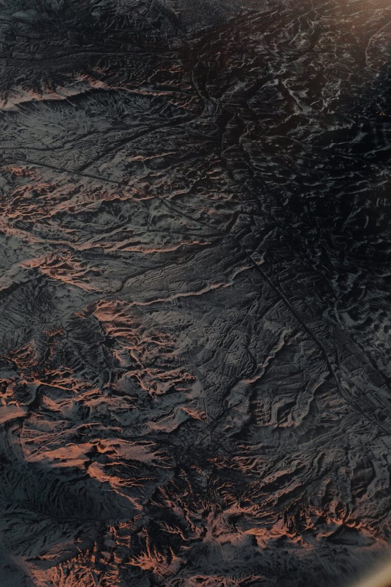
Most GIS analysts can answer “where” with confidence. Point a query at a dataset and the answer comes back clean. But introduce elevation and suddenly the workflow stalls. The question shifts from “where is it?” to “what does the ground actually look like here?” And that is a fundamentally different kind of analysis. That gap…